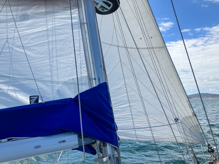
Ever since buying Vestlandskyss, we have struggled with the foresail that came mounted on the furler. There’s nothing wrong with the sail itself, which is in good condition and which did well for us in Queensland, but it’s a big genoa and – at least in our opinion – unsuitable for Tasmanian conditions.
The genoa goes well between 11 and 14 knots of wind, but below that the heavy canvas flops, and above that it is overpowered. That’s a small window of operation in Tasmania, where the winds flip between those two extremes at a moment’s notice.
After a near-mutiny when I laid Vestlandskyss on her side coming around Tasman Island, I promised never to fly the genoa again, but the yacht goes really well on the staysail so we just left the foresail furled and it wasn’t a great hardship.
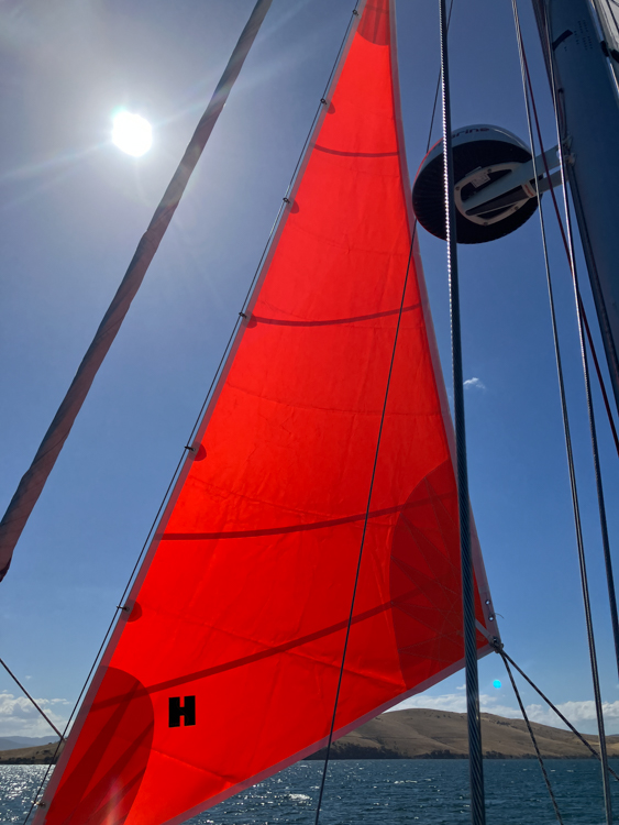
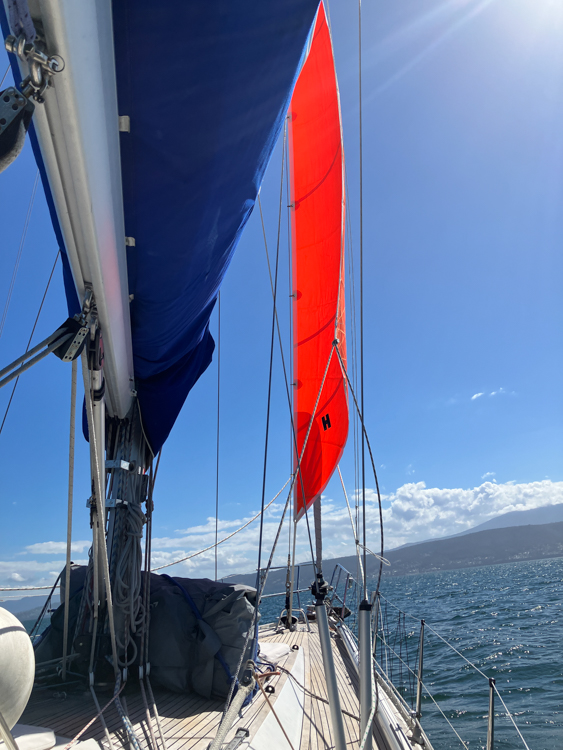
I understand that the previous owners also loved that staysail; it had clearly seen a bit of use and I could see that some of the hanks were getting worn. Once we had organised our new home berth in Tasmania, I took the staysail to Mike at Quantum Sails for servicing. Clearing out our sail locker, I found (along with a bunch of spare anchors) a new red emergency storm staysail, which worked very well indeed in light conditions; one day I’ll try it when the wind is blowing more strongly.
Testing a jib
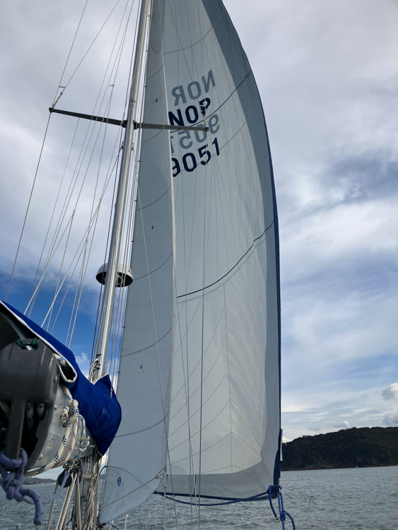
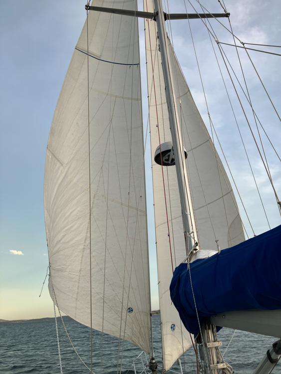
I also found an old jib that appeared to have been adapted from a different boat. It didn’t have a UV-strip on it, so I wasn’t sure if it would be OK to keep on the furler as a permanent foresail. I sought advice from Mike, and his advice was to use the jib for the season and, if I was happy with it, to bring it in to have it serviced and adjusted.
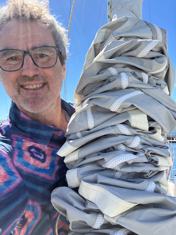
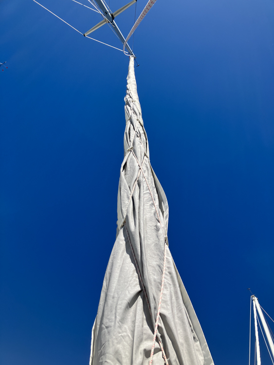
I was still wary of leaving it up on the furler without a protective UV strip. Yes, it is a small jib, but ‘small’ is relative and it is a big piece of canvas to manhandle up and down the track and stuff down the hatch into our daughter’s cabin. Then, amongst a stack of covers and awnings under the forepeak, I found a foresail cover that can be hoisted up over the furler, so now we can keep the jib furled on the forestay but protected from the damaging sun.
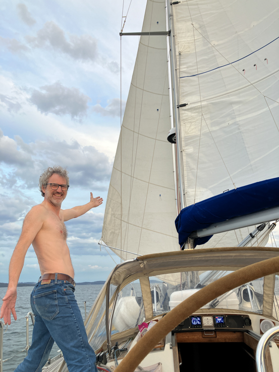
Pete and I took the boat out for some twilight sails, and found that the little jib was far superior to the genoa. Vestlandskyss went just as fast, but was much more controlled. Once we got the sails set, the boat balanced nicely, and we barely needed to touch the helm because she took care of herself.
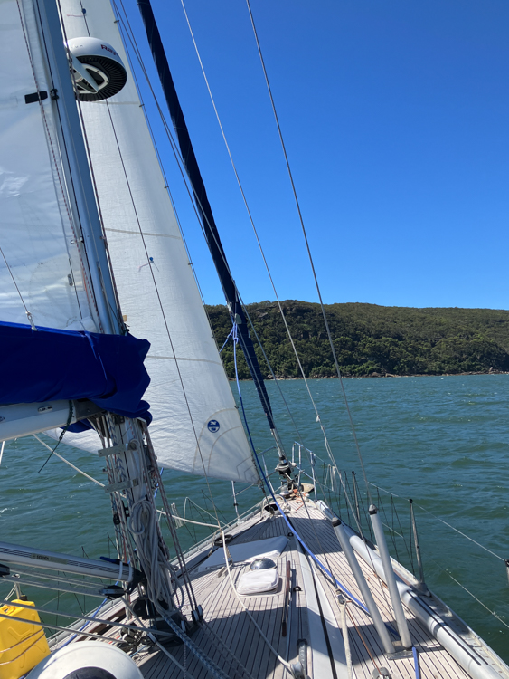
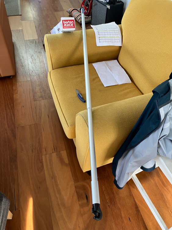
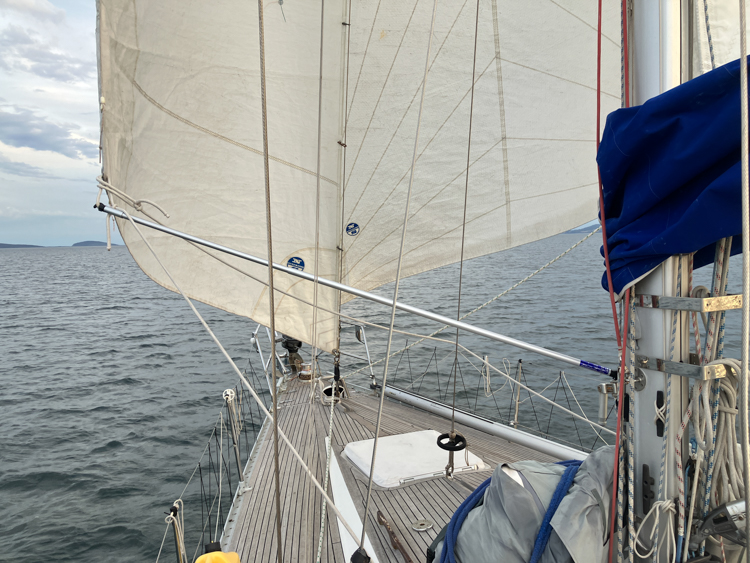
We also found that the jib and staysail work well together goose-winged, so I bought a cheap lightweight whisker pole to stop the staysail from flopping around when on the ‘wrong’ side of the boat. The pole is only an inch thick and extends to two metres; it’s designed for the foresail of a 26-footer and is just the right length for our staysail. It’ll be interesting to see how long it lasts with these forces on it.
Furler blues
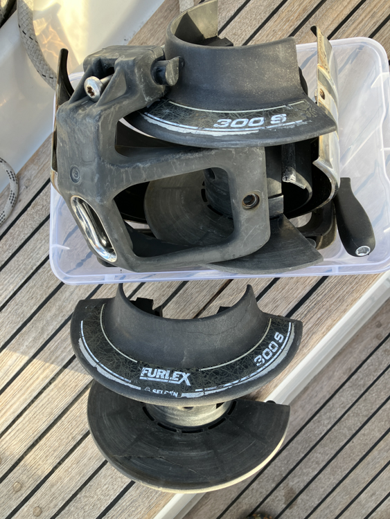
We’d noticed that the foresail furler had been getting more and more difficult to operate. It has always been unusually stiff, and we’d made some adjustments to the controls and sheet angles, which has helped a bit. Then the other weekend we were beating up the d’Entrecasteaux in 25 knots on a reefed main, planning to put the jib away, and the furler mechanism jammed.
At first I thought we’d got a halyard wrap, but there was nothing wrong at the mast. I found that I could sit on the pulpit and force the drum around by hand, fighting against a tight spot on every turn. We got it furled it away and had a fast and enjoyable trip home on the staysail.
It was time to have a good look at the furler mechanism.
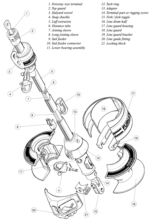
I approached the task with some trepidation. The Selden manual is comprehensive in many areas, but is a little light on detail when it talks about bearings. This appears to be because nobody in their right mind would try to change them. The exploded diagram points at where they are hidden inside a metal tube, but the only way to access them is to dismount the forestay, which is holding up the mast. I dithered for a bit, then on a calm day I forced the jib to unfurl, dropped it to the deck, removed the furling line, and took the drum apart.
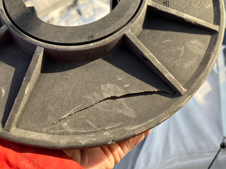
Once I’d unwound the dyneema furling line, I could see that the drum had a big crack in it, which looked like somebody had once used it as a step. That probably didn’t help, so I fixed it up using a vice and some glue.
The line was filthy and encrusted with salt, so I took it home and ran it through the washing machine, after which it coiled a lot more freely.
With all the peripherals were off, I could directly manipulate the various swivels and assemblies that move around the forestay. There appeared to be four sets of bearings in play, and at least one set was clearly stuffed. I thought long and hard about setting up a temporary forestay and stripping it all out, but I was pretty sure that the rough bearings were the set for the tack ring, which only turns once per furling operation. I hosed out the whole mechanism with fresh water, and carefully greased the other three bearing sets, which are easy to get to. It didn’t make any difference to the free turning of the mechanism. Then I pushed a lot of grease into the tack ring bearing, and convinced myself that the action was much smoother.
Crossing my fingers, I put it all back together, hoisted the jib, and headed out to sea. The sail unfurled like silk.