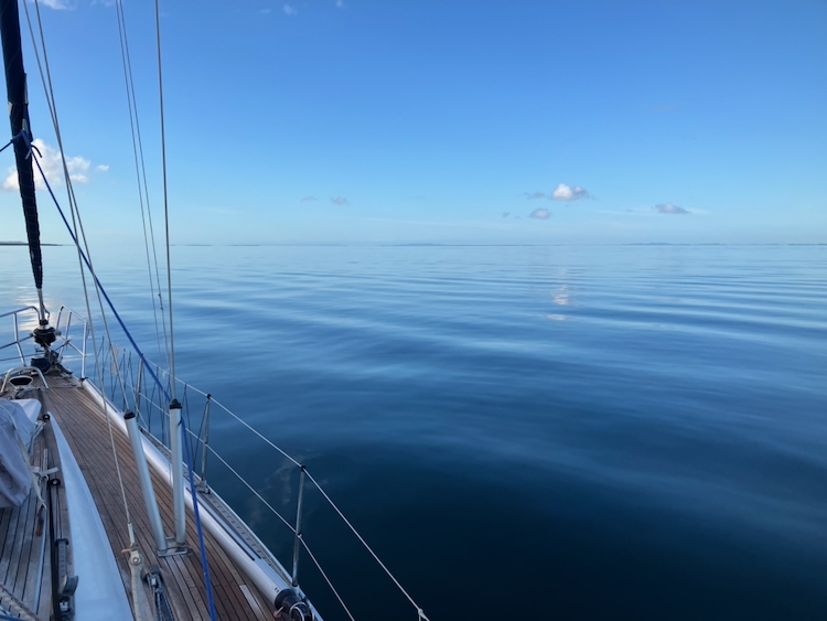
We had begun our trip down the Main Channel to the Gold Coast by anchoring at Big Sand Hill at the southern end of Moreton Island, and woke to a beautiful millpond morning.
It was going to be a long day, wending our way down the tortuous curves and narrow dredged channels of the Main Channel. There is another route, the Canaipa Passage, which is said to be more picturesque, but it involves shoals and shallows that we didn’t fancy in our deep-keeled boat, so the Main Channel was our target. After an early breakfast, Berrima took us out into the bay.
It was a beautiful day with very little wind, so we didn’t put the sails up but instead motored down Moreton Bay, from Moreton Island to North Stradbroke Island.
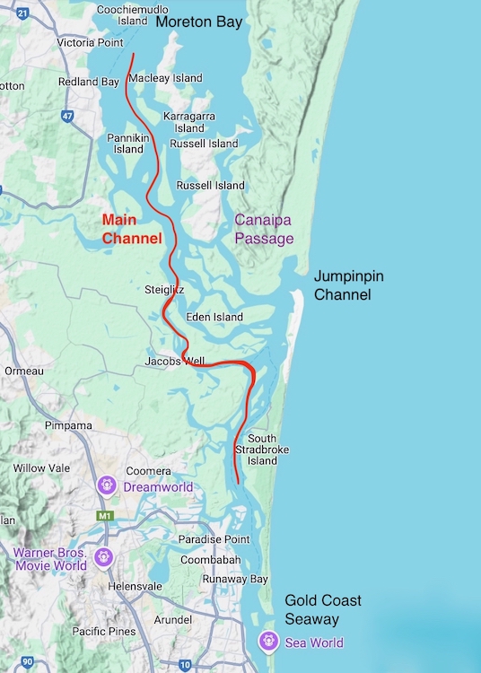
At Macleay Island, we began to thread the needle, a process that would take the remaining hours of summer daylight to complete. There were channel markers at the edges of the main sandbanks, but the paths were narrow, especially when criss-crossing with the frequent car and passenger ferries servicing Macleay Island, and we were glad to have a real-time chart display in the cockpit to guide us through the shallow parts.
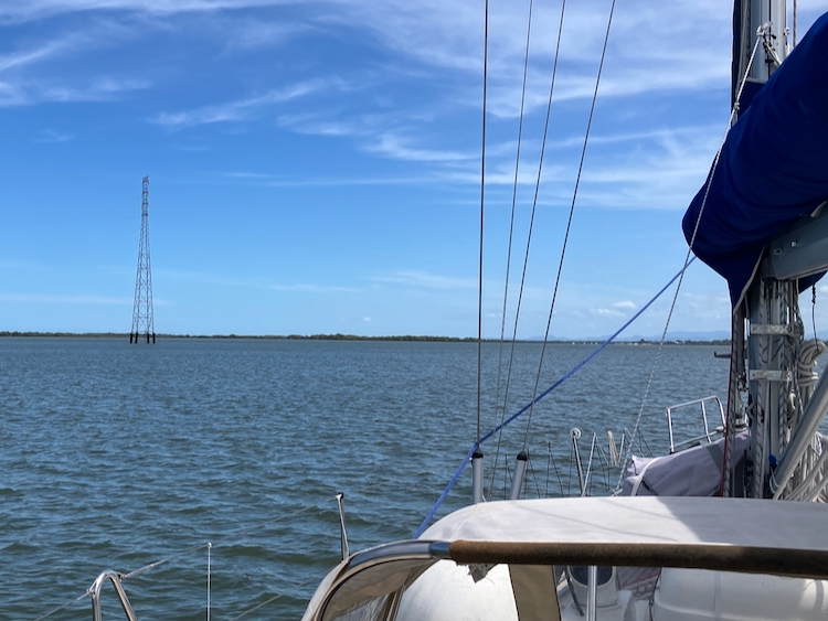
The sun burned hot as we entered the mangroves near the southern end of Russell Island, passing under an unusual pair of electricity pylons sticking up out of the river.
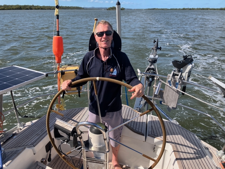
Following the markers and chasing the deeper water, we switched from side to side of the river at a steady 6 knots. We passed a German ketch which was doing a similar speed apparently under sail, but I am nowhere near a good enough sailor to try that in an unfamiliar boat.
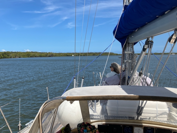
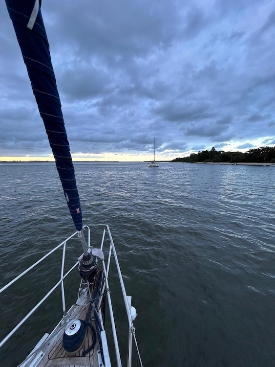
Parts of the Main Channel were crowded with houseboats, others with moored yachts. Here and there, private fishing boats scurried about. On the whole, though, it was pleasantly quiet and – if you were not at the helm nervously staring at the depth gauge – relaxing to watch the mangroves sliding gently by.
Finally, after nine hours of intense navigation, we emerged into Tipplers Passage, where Main Channel rejoins Canaipa Passage. This is at the northern end of Broadwater, which is the body of water that leads down to the Gold Coast Seaway and the flashing lights of Surfers Paradise. When we visited this area on Pindimara in 2009 we anchored close to Sea World and Surfers Paradise and it was very busy indeed, so this time we decided to stop a bit farther from the madding crowd. We dropped anchor in a well of 5-metre water off to the side of the channel in the company of a catamaran and a private trawler, and ate dinner on deck with the lights of the Gold Coast comfortably distant.
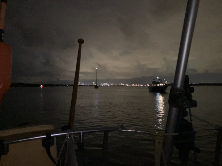
Storm clouds raced overhead. Lightning flashed in the distance. We sat in the warm breeze, serenaded by cicadas. To seaward were sheltered beaches on South Stradbroke Island, and locals drove their tinnies up to quietly sit by fires and sink a few beers before moving on for a night’s fishing.
Grounding at Paradise Point
We spent most of the day at anchor in Broadwater, cleaning Vestlandskyss and getting ready for sea. There were shops about a mile across the river in Paradise Point, so Brendon, Berrima and I unrolled the electric dinghy and set off to get some provisions.
It looked like a simple river crossing, but it wasn’t. We knew about the sand bar next to us, but the tide was up and we crossed it easily. What we hadn’t expected, because we had carelessly not examined the chart, were the many weedy sand banks just below the surface as we crossed the river.
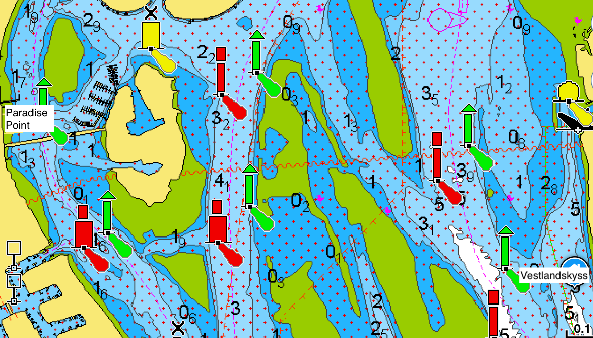
We grounded the dinghy several times, and at one point mid-channel, Brendon stepped out of the boat and waded ankle deep as he towed us to deeper water.
We finally turned into the entrance to Paradise Point marina (grounding once again), where I gave myself a scare when I saw that the indicator on the electric motor said that we had only half an hour of power left, probably not enough to carry us and our shopping back across the river to the yacht. However, a little experimentation showed that the motor was displaying a real-time estimation based on the current throttle setting, so if I backed off the power, I had well over an hour of motoring in hand.
Paradise Point had ample shops to stock up on food for the passage, though I didn’t think of dropping into the pharmacist for some seasickness tablets, which was short-sighted. We filled a load of bags with food, and made our way back to the jetty, where the local kids were using our tender as a dive platform.
We fired up the dinghy and did what we should have done in the first place, plotted a course through the shallows using the Navionics app on my phone.
Mindful now of power drain, I drove quite slowly back across the channel, which meant that we had to keep a good lookout for fast-moving marine traffic up and down the river. Generally they were keeping watch and politely detoured around us, but we made a tempting target for one bogan on a jet-ski who split out from his pack of buddies and attempted to swamp us with a fast doughnut before accelerating off grinning. We got wet but thankfully our daughter and food were OK. Charming.
Vestlandskyss was clean, provisioned, and secured for passage. It was time to leave Main Channel and head out into the Tasman Sea.